The Largest
Fjord System
on Earth
The east coast of Greenland is one of the least populated places on the planet. A constant stream of ice drains off the ice cap through outlet glaciers, narwhals look for leads into their feeding grounds, and bears hunt seals on the ice well into the summer. Interactions with wildlife here tend to be ones of mutual intrigue.
Scoresby Sund is the largest fjord system on Earth: 350 kilometres of branching inlets, charted by William Scoresby Jr. in 1822, though Inuit have known these waters for centuries. Walls of basalt and granite rise toward two thousand metres, and glaciers off the inland ice calve directly into its inner arms.
North of it lies the Northeast Greenland National Park, the largest national park on Earth, without a single permanent inhabitant. This voyage threads both: north across the Denmark Strait from Iceland, a week inside the park's fjords, then south into Scoresby Sund to stand beneath the total solar eclipse of 12 August.
The Voyage,
Region by Region
Iceland & the Crossing
The voyage begins in Akureyri, northern Iceland, with a day's crossing of the Denmark Strait, roughly three hundred nautical miles of whale-rich water, to landfall at Ittoqqortoormiit, the most isolated town in Greenland, at the mouth of the largest fjord system on Earth.
The National Park
Six days inside the largest national park on Earth, an area bigger than most countries with no permanent inhabitants: the spires of the Stauning Alps above Alpefjord, the Sirius Patrol's island base at Ella Ø, the two-hundred-kilometre sweep of Kejser Franz Joseph Fjord, the banded Devil's Castle and the Bay of Flowers. Landings, Zodiac cruises and hikes as ice and weather allow.
Scoresby Sund & the Eclipse
South into Scoresby Sund itself for the final act: the Bear Islands' sculpted ice, the red-sandstone walls of Rødefjord, kayaking beneath the granite of Rypefjord, and, on 12 August at Sydkap, a total eclipse of the sun over the fjord. Disembark at Constable Pynt on 13 August.
Akureyri to
Constable Pynt
Fifteen days north across the Denmark Strait, through the fjords of the Northeast Greenland National Park, then south into Scoresby Sund for the eclipse. Click any stop on the map to dive in.
Four Threads
Through the East
System
Wildlife
Park
Eclipse
"The sky doesn't just darken. Shadows turn razor-sharp. The temperature plummets. Birds fall silent."
David Wright · Filmmaker & Photographer, on totalityAkureyri to
Ittoqqortoormiit
Guests fly to Akureyri, the largest town in northern Iceland, set at the head of Eyjafjörður beneath a rim of flat-topped mountains. Hanse Explorer lies alongside; once everyone is aboard and settled, she slips down the fjord toward the sea. The evening run along Eyjafjörður is a gentle start: farmland and fishing villages on either shore, and the long subarctic light lasting deep into the evening.
A full day at sea, crossing the Denmark Strait toward Greenland, roughly three hundred nautical miles of open water. The route crosses the Arctic Circle at Grímsey's latitude and then carries no land at all until Greenland. The crossing can produce significant swell; once inside Scoresby Sund the waters are typically calm. These offshore waters are summer feeding grounds for whales, so time on deck is rewarded: fulmars trail the ship, blows can appear anywhere on the horizon, and the first drifting ice arrives as the Greenland coast rises ahead.
Landfall in Greenland at Ittoqqortoormiit, the most isolated town in the country: around 350 people on a rocky headland at the mouth of Scoresby Sund, with the world's largest national park to the north and the world's largest fjord system at its door. The town was founded in 1925, when Ejnar Mikkelsen landed some eighty settlers from Tasiilaq, and marked its centenary in 2025; its name means 'the place with the big houses' in East Greenlandic. Ashore are colourful houses, sled dogs staked out on the slopes, a small museum and a post office. Polar bears occur near town, so shore parties follow the expedition team's lead.
The Fjords of
the National Park
Overnight the ship runs north along the outer coast and turns into King Oscar Fjord, crossing into the Northeast Greenland National Park. The afternoon call is Nyhavn, the old ore harbour on the fjord's southern shore: from 1956 to 1963, lead and zinc from the Blyklippen mine were trucked ten kilometres down from Mestersvig and shipped out from here, and the airstrip at Mestersvig still supports Danish operations in the park. It is a first taste of the park's scale: striped mountain walls, enormous water, and musk oxen on the tundra benches above the shore.
Deeper into the park, the ship turns into Segelsällskapet Fjord, named in 1899 by the Swedish explorer A.G. Nathorst for the Royal Swedish Yacht Club as he searched for the lost Andrée balloon expedition. The banded slopes of the Berzelius mountains rise straight from the water. At its head the fjord narrows into Alpefjord, aptly named: the spire peaks of the Stauning Alps stand over the water, with glaciers descending between them nearly to the shore. Zodiac cruising and shore walks as ice and conditions allow; Arctic hares and ptarmigan are regulars here, and musk oxen graze the valley mouths.
Ella Ø sits in the mouth of King Oscar Fjord, and its small station is the summer base and logistics point for the Sirius Patrol, the Danish dog-sled patrol that asserts sovereignty across the national park. Patrol members serve twenty-six months, and their winter journeys run two to four months at a stretch across the far north. Schedules permitting, there may be a chance to see the station; either way the island offers proper hiking under big rock walls. The afternoon continues to Kap Hedlund for a landing on the cape's shoreline.
Kejser Franz Joseph Fjord is one of Greenland's great fjord systems, running more than two hundred kilometres from the inland ice to the Greenland Sea; it was first surveyed by the Second German North Polar Expedition of 1869 to 1870. The morning is spent in Kjerulf Fjord, an inner branch walled in rock, where the green valley of Paradisdalen opens at its head. In the afternoon the ship continues to the head of the main fjord, where the Nordenskiöld Gletscher calves into the sea a few kilometres west of Kjerulf's mouth.
A three-part day in the heart of the fjord country. The morning is spent beneath Teufelsschloss, the Devil's Castle, a flat-topped mountain of banded, multicoloured rock named by the 1869–70 German expedition, with a walk into Benjamins Dal below it. The afternoon crosses to Blomsterbugten, the Bay of Flowers, named in 1929 for its botanical abundance during Lauge Koch's expedition: a walk leads inland to the lake of Noa Sø, where great northern divers nest, and Arctic hares and musk oxen are often seen; the 1929 hunting hut at the bay is still used by the Sirius Patrol. Late in the evening the ship noses into Moskusoksefjord, the musk-ox fjord, a long, narrow inlet rich enough in birdlife to be listed as an Important Bird Area.
Ymer Ø stands at the entrance of Kejser Franz Joseph Fjord, cut nearly in two by the deep slash of Dusén Fjord. The morning landing is in Noa Dal, a broad tundra valley made for walking. In the afternoon the ship rounds to Kap Wijkander, the headland on the southern side of Dusén Fjord, for a final landing in the national park. From here the course leaves the great fjords and follows the outer coast overnight toward Liverpool Land.
Scoresby Sund
& Eclipse Day
South along the coast of Liverpool Land, back toward the mouth of Scoresby Sund. The morning is spent around Lillefjord and Watkins Bay on the peninsula's southeastern shore, smaller-scale country after the giant fjords of the park. In the afternoon the ship crosses to Raffles Ø, a steep, uninhabited island rising to 550 metres just off the coast, sighted and named by William Scoresby Jr. in 1822 during the first charting of this coastline.
Into Scoresby Sund proper, and to the Bear Islands, a rugged and rarely visited archipelago in Hall Bredning off the mouth of Øfjord. The low rocky islets and the sounds between them hold some of the most concentrated scenery of the voyage: sculpted icebergs grounding in the shallows, Arctic foxes on the tundra, and guillemots and glaucous gulls on the cliffs. Zodiac cruising threads the channels; ashore, the tundra is a carpet of dwarf willow, Arctic cotton grass and reindeer moss.
An afternoon at Rødepynt in Rødefjord, where the geology turns red. This is the red-sandstone country around Røde Ø, one of the most visually arresting landscapes in Greenland: rust-coloured walls and screes that once formed part of a prehistoric desert, now set against blue ice drifting down the fjord. Icebergs ground in the shallows on their way south, and musk oxen graze the valleys behind the shore.
Rypefjord is a classic inner-Scoresby fjord: sheer granite walls, immense sculpted icebergs, and glassy water made for kayaking. At its head the Eielson Gletscher descends from the ice above, one of the sources of the bergs that stream out into Hall Bredning. Zodiacs work the ice edge for seals hauled out on the floes; Arctic terns dart overhead, and the inner fjords are among the places where a narwhal sighting is genuinely possible.
The morning is spent at Sydkap on the north shore of Hall Bredning, near the mouth of Nordvestfjord, whose glaciers feed many of the giant icebergs stranded across this basin. Ashore are the remains of a former trading post and older Thule-culture winter houses, with Arctic hares on the slopes and long views over the water. Then, in the late afternoon, the reason this date is circled: a total eclipse of the sun. Scoresby Sund lies on the centreline of the 12 August track, with totality of a little over two minutes and the eclipsed sun standing about twenty-five degrees above the horizon, over a fjord of icebergs with no crowds and no artificial light anywhere. The Captain and Expedition Leader will position the ship on the day's forecast for the clearest possible sky.
The expedition ends at Constable Pynt, the small airport of Nerlerit Inaat, about forty kilometres northwest of Ittoqqortoormiit and the air gateway to East Greenland. After breakfast, guests disembark and board the charter flight back across the Denmark Strait toward home, ending a rare and powerful encounter with nature at its most elemental.
M/Y Hanse Explorer
Hanse Explorer is a true expedition yacht in every sense: ice-classed, built to handle the most challenging waters, and under exclusive EYOS management. At 47.76 metres she carries just twelve guests in seven staterooms, with a crew of fifteen, and a 2020/2021 refit renewed her interior and exterior spaces from the saltwater Jacuzzi and sauna to the gym.
She carries two Mark-IV Zodiacs for landings and ice work, sea kayaks and stand-up paddleboards with semi-dry suits for cold-water use, and a dedicated dive tender. Nimble and stout, she has repeatedly proven herself for those seeking an immersive, intimate adventure in the planet's most remote regions, from the high Arctic to Antarctica.
"She's like baby bear's porridge in the story of Goldilocks – just right."
Richard White · EYOS Expedition Leader, on Hanse ExplorerRichard White
Richard trained as a biological scientist in the UK and began his career researching the impact of oil and gas exploration on seabird populations, work that had him living for years on small, isolated islands including Ascension, the Falklands and the Seychelles. His primary areas of expertise are ornithology and marine biology, and he is regarded within EYOS as one of the most experienced birders in the world.
His expedition record spans Svalbard, the Canadian Arctic and Northwest Passage, the Russian Arctic, the Antarctic Peninsula and Ross Sea, South Georgia, the Falklands, the Atlantic islands from the Azores to Tristan da Cunha, Alaska, the Amazon and the South Pacific. He knows this vessel well, too: he spent a full season aboard Hanse Explorer in coastal Norway and Svalbard, writing the field dispatches that became an EYOS series.
As a skilled presenter, Richard delivers custom wildlife lectures and leads field outings with an emphasis on safety and education. In his own words, the main element of an expedition is "a sense of surprise".
The Packing List
Layers are everything. East Greenland in early August runs cold and changeable: bright and still one hour, wind off the ice the next. Pack for wet Zodiac landings and hard glare on the water. One note on connectivity: there is no mobile coverage in East Greenland outside Ittoqqortoormiit, and the vessel’s satellite Wi-Fi is limited at these latitudes. Tick items off as you go: your progress is saved on this device.
Expect temperatures from around freezing to around 10°C (32 – 50°F) at sea level, colder in wind, on the water and near the ice, and conditions that change fast. Dress in layers so you can adjust through the day. A typical dress for a landing:
Top
Bottom
Expedition Clothing
Equipment & Personal
Documents & Logistics
Recommended Reading
and Viewing
A short shelf for the days at sea: the classics of the far north first, then the books that carry you into Greenland’s story.
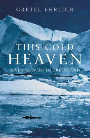
Seven seasons in Greenland. The best single book for understanding the land, the ice, and the Inuit communities of the coast.
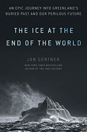
The story of the Greenland Ice Sheet, from Nansen's first crossing to the satellite era. Read it before you see the ice for yourself.
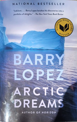
The definitive literary account of the far north and a National Book Award winner. Still the place to start.
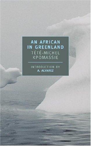
A teenager from Togo reads a book about Greenland and spends years working his way north. A warm, beloved Arctic travelogue.

A sweeping novel of the Norse colonies that farmed South Greenland’s fjords for five centuries before vanishing from the record.

A thriller that turns on Smilla's half-Greenlandic, inherited feel for ice and snow: the most famous novel to come out of Greenland, and a sharp read on the country's ties to Denmark.
Recommended Viewing
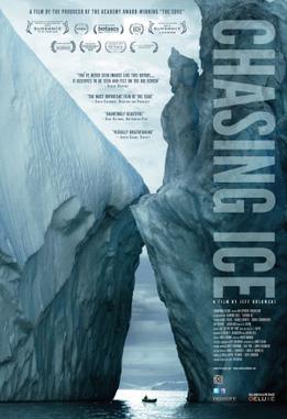
The Extreme Ice Survey documentary. Time-lapse footage of Greenland's glaciers in retreat.
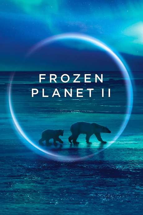
The Arctic episodes cover the wildlife and ice of the far north. Watch "Frozen Lands" and "Frozen Ocean".
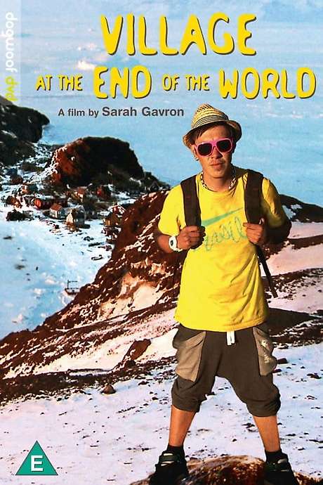
An intimate portrait of life in a remote Greenlandic village of fifty-nine people. The human side of this coast.
Photography
The light, the wildlife and the ice make East Greenland one of the most rewarding places to photograph. A few things worth knowing before you sail.
In the Field
For the camera and lenses you bring on deck and ashore.
- A super-wide lens is ideal for the vast landscapes.
- For distant wildlife such as whales and seabirds, a fast, long lens or high zoom helps; image-stabilised lenses are recommended.
- Cold saps battery power: carry spares, and keep batteries close to your body to stay warm.
- Rain and sea spray are constant, so keep your gear in waterproof bags.
- Keep your camera on a strap on deck to avoid dropping it.
- Mind the weight of the gear you carry ashore.
- A monopod or beanbag steadies shots aboard a moving vessel.
- Onboard internet is limited, so plan to keep photos on your phone or laptop. Recreational drones are not permitted in the Arctic (AECO).
On Your Phone
Tips for shooting on a phone.
- Tap to set focus, then nudge exposure down a touch: bright snow and ice fool auto-exposure and leave shots grey and flat.
- Turn on the grid and keep the horizon level; on open water a tilted horizon is the giveaway of a rushed shot.
- Use burst mode for wildlife and breaching whales: hold the shutter, pick the best frame later.
- Carry a microfibre cloth; sea spray on the lens is the most common reason a phone shot comes out soft.
- Cold drains phone batteries fast, so keep your phone in an inside pocket and bring a power bank ashore.
- In the long Arctic light, shoot toward the low sun and lock exposure on the brightest part of the sky for richer colour.
The Eclipse
Totality on 12 August runs a little over two minutes. Decide the shot before it starts.
- Fit a certified solar filter to any lens pointed at the sun during the partial phases; remove it only for totality, then refit it as the sun returns.
- Never look at the partial phases through an optical viewfinder without a filter; compose on the screen instead.
- Choose in advance between a long-lens sun sequence and a wide frame that holds the eclipsed sun over the fjord; two minutes is not enough for both.
- Lock focus on the sun’s limb or at infinity before totality begins; autofocus hunts in the sudden dark.
- Bracket exposures through totality; the corona’s brightness range defeats any meter.
- Spend at least a few of the seconds watching rather than shooting.

See You in
Akureyri
M/Y Hanse Explorer sails from Akureyri on 30 July 2026 and lands guests at Constable Pynt on 13 August: fifteen days through Scoresby Sund and the Northeast Greenland National Park, beneath the total eclipse of 12 August.
All itineraries are subject to modification by the Captain and Expedition Leader based on weather, ice, sea state and wildlife opportunity. The Northeast Greenland National Park is permit-controlled, and landings within it are subject to advance authorisation and environmental conditions.